Azerbaijan National Academy of Sciences
The first website of Azerbaijan (1995)
 Elm TV
 Photo
Photo
 Video
Video
- A-
- A
- A+
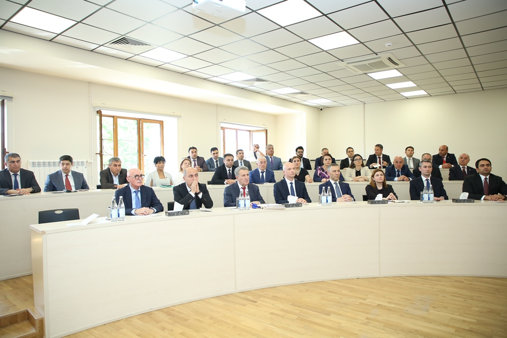
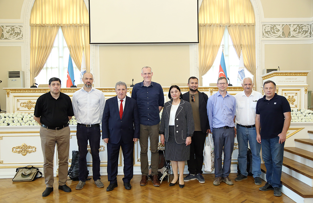
Trainings on geographical information systems launched in ANAS
Trainings on geographical information systems (GIS) have been launched by the joint organization of the Institute of Geography of ANAS named after acad. Hasan Aliyev and the Azerbaijan Geographical Society.
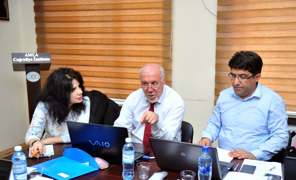
The two-week training at the Institute of Geography is led by Professor Ali Akbar Rasuli, a professor at Macquarie University in Australia.
Speaking at the event, director of the institute, academician Ramiz Mammadov said that modern technologies of GIS are widely used in many fields. He said that GIS maintains a leading position in the acquisition and processing of information and its delivery to users. GIS is seen as a computer system with special software for collecting, integrating and analyzing surface data, and is constantly being updated.
Academician R. Mammadov said that GIS technologies are widely developed in our country, their theoretical problems are studied and applied in practice.
There is an urgent need for GIS analysis in the area of environmental monitoring, management of natural disasters and natural resources, and early detection of hazards as well as disaster prevention.
Yashar Nasibov, a member of the Geoinformatics and Cartography Department, who plays a specific role in organizing the trainings and practicing the ArcGIS program, spoke about the application of GIS.
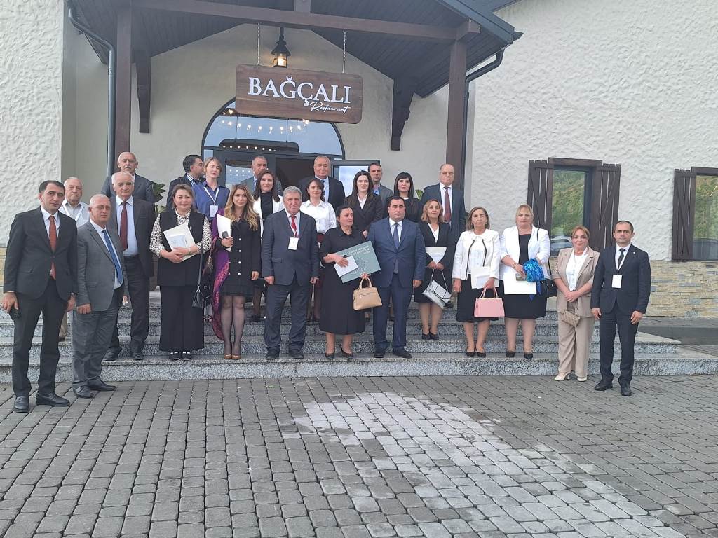
Trainings of GIS are attended by academic staff of the Institute of Geography, Oil and Gas, Zoology, Geology and Geophysics, Republican Seismological Survey Center, Azerbaijan State Pedagogical University, Baku State University and National Aviation Academy.
©All rights are reserved. Citing to www.science.gov.az is necessary upon using news
Similar News


Links