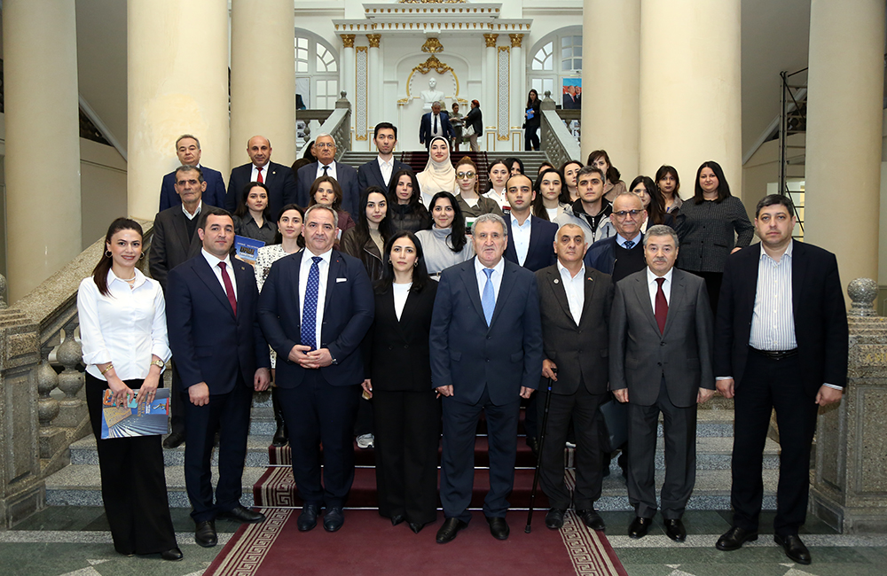
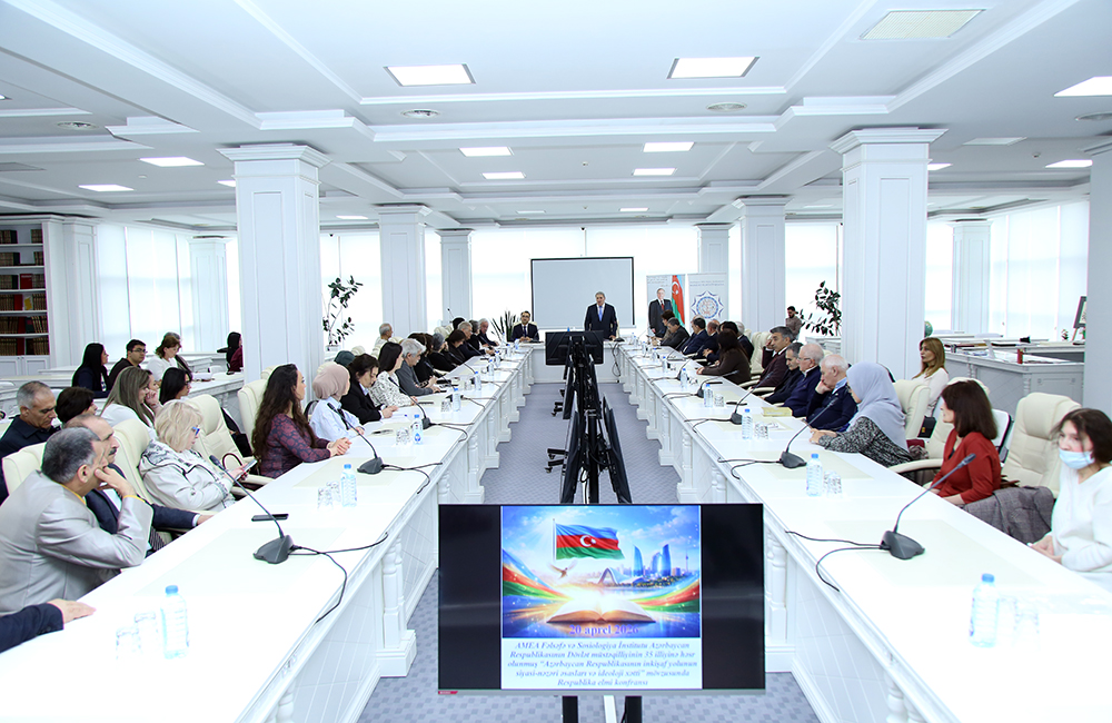
Azerbaijan National Academy of Sciences
The first website of Azerbaijan (1995)
 Elm TV
 Photo
Photo
 Video
Video
- A-
- A
- A+
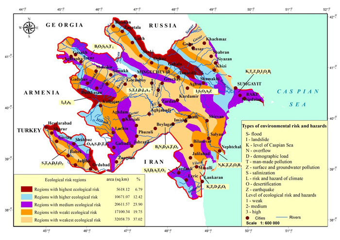
Map of Azerbaijan’s environmental risks compiled
The director of the Institute of Geography of ANAS academician Ramiz Mammadov and head of the department of this scientific institution, Ph.D. in geography, Assoc. Prof. Mirnuh Ismayilov developed a map of Azerbaijan’s environmental risks based on natural and man-made threats. This is a map of large-scale digital environmental risks, first created in Azerbaijan on the basis of multi-parameter data.
Sources of environmental hazard were identified throughout the country, including mudflows, floods, landslides, demographic and technological pressures, pollution of surface and groundwater, disturbance of the Caspian Sea level, salinization, waterlogging, climate risks, desertification and earthquakes. Analysis of the map shows that 37.2% of the territory of the republic of the zone with very low environmental risk, 19.8% is weak, 23.9% is medium, 12.4% is high and 6.8% is very high.
The map of environmental risks of Azerbaijan can play an important role in the implementation of infrastructure projects, construction, urban planning and insurance.
©All rights are reserved. Citing to www.science.gov.az is necessary upon using news.
Similar News


Links