Azerbaijan National Academy of Sciences
The first website of Azerbaijan (1995)
 Elm TV
 Photo
Photo
 Video
Video
- A-
- A
- A+
“National Atlas of the Republic of Azerbaijan” and “South Caucasus map of 1903” presented


Today, AR State Committee for Land and Cartography joint with Azerbaijan National Academy of Sciences presented “National Atlas of the Republic of Azerbaijan” and “South Caucasus map of 1903” published pursuant to Mr. President’s Orders dated April 20, 2011 and April 18, 2012.
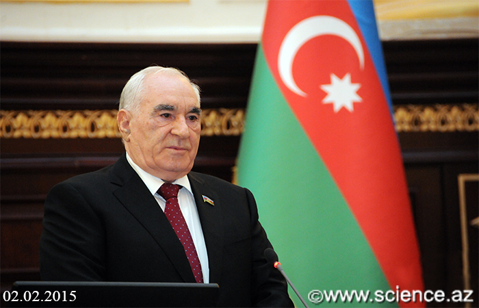
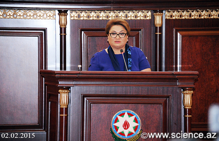
Opening the event deputy chairman of “National Atlas of the Republic of Azerbaijan” editorial board, president of ANAS acad. Akif Alizadeh informed about historical essence of the publication, and done fulfillments in its bringing up. Cartographic falsifications related in historical and geographic names and territorial integrity of the county are increased up to day, so, necessity of preventing these falsifications portrays in the Orders signed by Mr. President on the publication of “National Atlas of the Republic of Azerbaijan” and “South Caucasus map of 1903” dated April 20, 2011 and April 18, 2012, noted acad. Akif Alizadeh.
Appreciating National Atlas as a highly completed cartographic work embracing achievements of geography and cartography, president of ANAS stressed out that, publication of national atlases is one of the priority issues that cartography bodies face in several states: “Only states with strong scientific potential can be independently manage this task.”
Atlas of 444 pages and 19 chapters covers vital data and portrays life of Azerbaijan complexly. Here include agriculture, industry, education and other spheres as well as national wearing and meals. Particular chapter has been added to the atlas, taking into account declaring the 2015 “As a year of agriculture”, stated Akif Alizadeh.
Making speech on the “South Caucasus map of 1903”, president highlighted that, this map is a significant response to the Armenians who holds territorial claim against Azerbaijan and always present themselves as aboriginal people. “Map shows all historical names belonging to Azerbaijan in present Armenia. This map was drawn up in 1903 by Tsarist Russia and reliable source for Armenians’ unfounded allegations.”
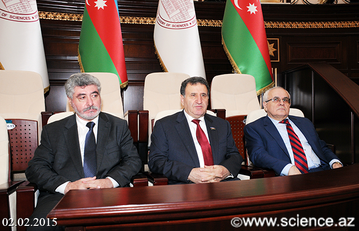
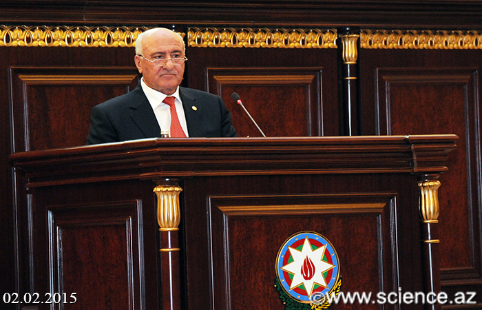
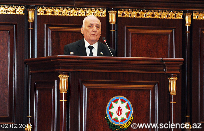
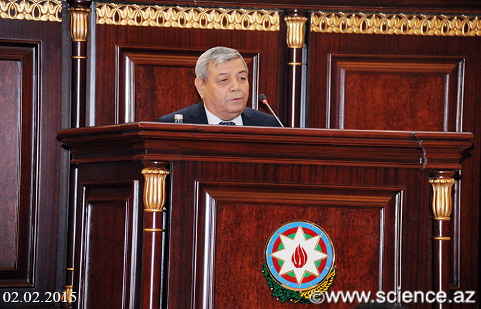
Later on, chairman of State Committee for Land and Cartography, academician-secretary of ANAS Department of Agrarian Sciences, responsible secretary for Editorial board of National Atlas, acad. Garib Mammadov delivered a lecture “National Atlas of the Republic of Azerbaijan”, is a specific cartographic work”, spoke about historical development methods of atlas cartography, and brought to mind key features of National Atlas.
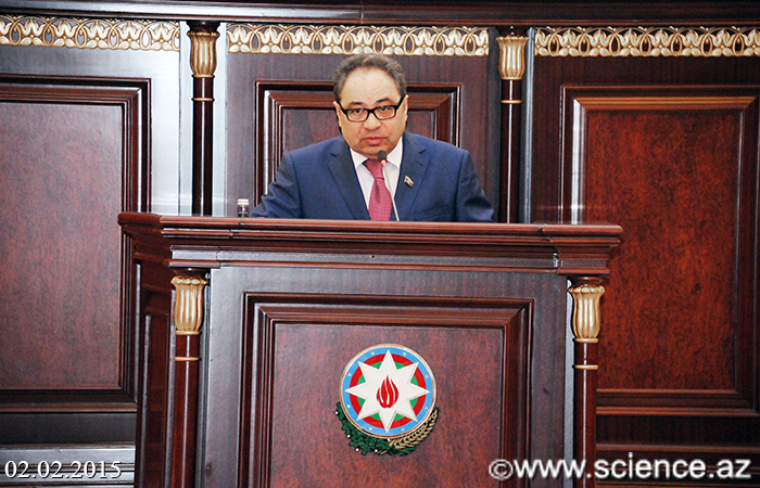
Reporting on “Publication of National Atlas of the Republic of Azerbaijan is an important event of statehood history”, director of the Institute of History, corresponding member of ANAS Yagub Mahmudov notified that, this edition is the first precious source confirming the nation's rich history and state independence.
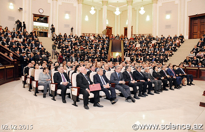
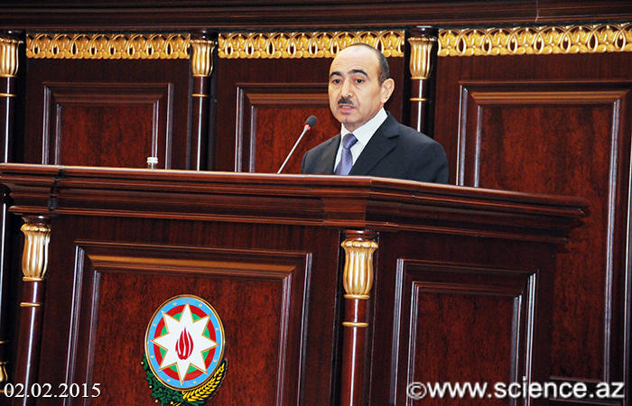
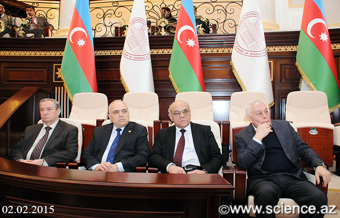
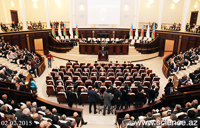
Event was attended by chief of Social and Political Department of Presidential Administration Ali Hasanov, prof. Ali Hasanov, chairman of Azerbaijan Council of Elders MP Fattah Heydarov, rector of Baku State University Abel Maharramov, chairman of Family, Women and Children Affairs Committee prof. Hijran Huseynova, director of the Institute of Geography Ramiz Mammadov.
©All rights are reserved. Citing to www.science.gov.az is necessary upon using news.
Similar News


Links