Azerbaijan National Academy of Sciences
The first website of Azerbaijan (1995)
 Elm TV
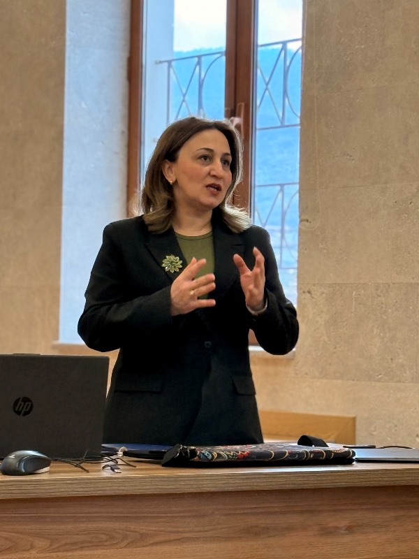
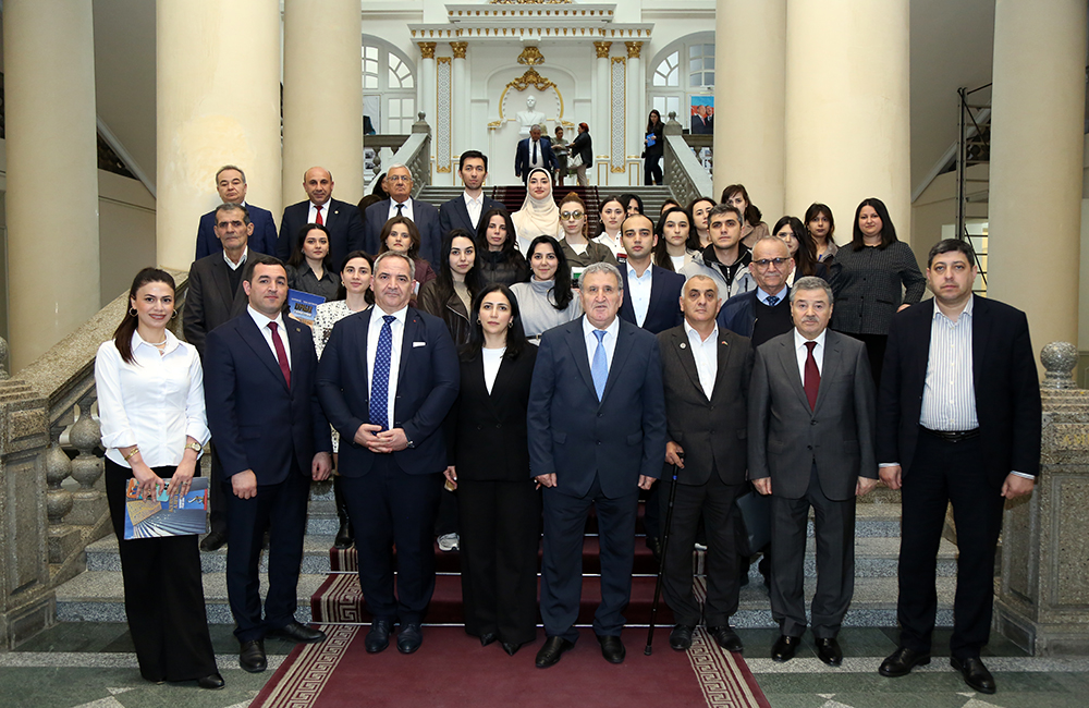
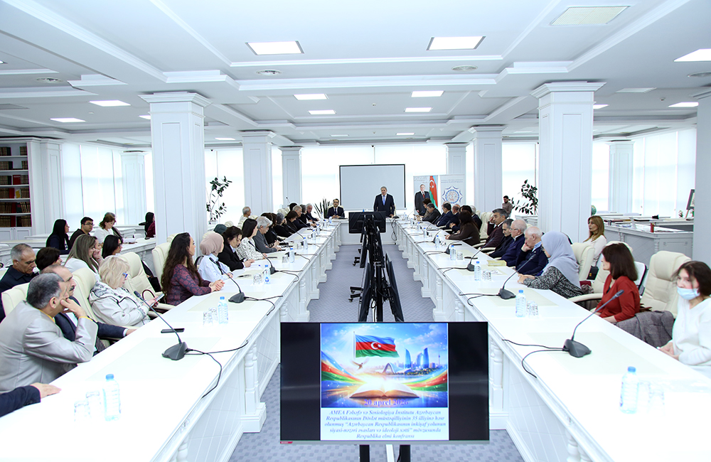
 Photo
Photo
 Video
Video
- A-
- A
- A+
Map “SOUTH CAUCASUS. 1903": historical and geographical maps as an argument for exposing the toponymic aggression of Armenians
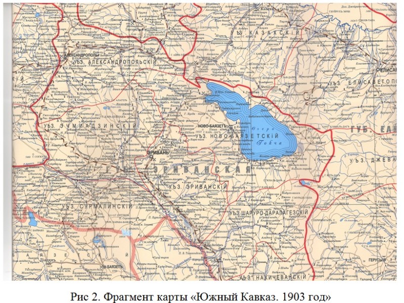

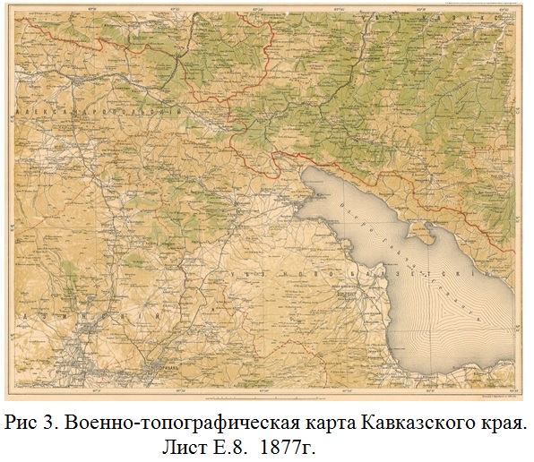
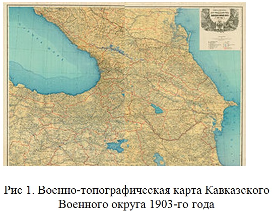
Cartographic science is in constant development, this is especially noticeable in connection with the introduction of new methods, digital technologies and the formation of a new industry - geoinformation mapping. In the new geo-information environment, the map today appears not just as a model, but also as a figurative-symbolic geo-information model of reality. The map as one of the greatest inventions of humankind remains the richest source of information. Practice shows the effectiveness of the scientific method of cognition, which has entered the scientific literature as a cognitive concept of cartography. Today, maps have become one of the main means of knowledge in physical and economic geography, geology, geobotany, ecology, medical geography, toponymy, historical geography and other sciences of the earth and society. Maps act as a means of studying spatial and temporal patterns of global, regional and local scales….
Ramiz MAMMADOV, Director of the Institute of Geography named after academician Hasan Aliyev of ANAS, academician
Shamil Azizov, Head of the Department of the Institute of Geography named after academician Hasan Aliyev of ANAS, Ph.D. in Geography
©All rights are reserved. Citing to www.science.gov.az is necessary upon using news.
Similar News

Links