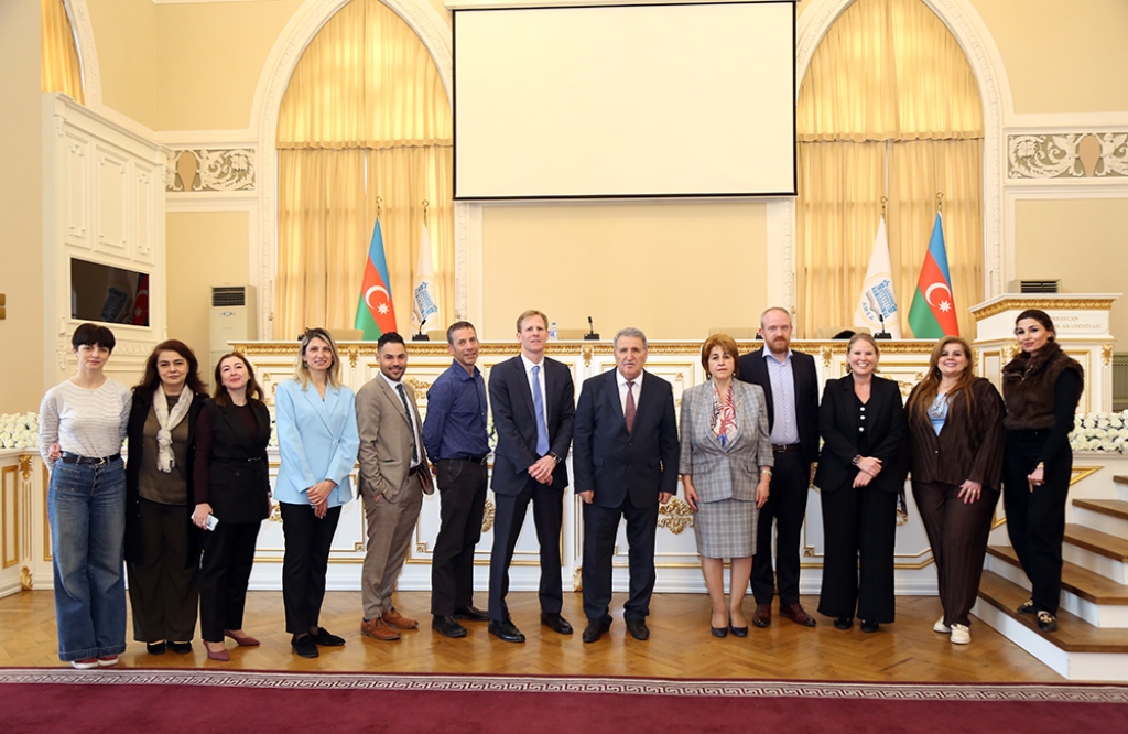
Azerbaijan National Academy of Sciences
The first website of Azerbaijan (1995)
 Elm TV
 Photo
Photo
 Video
Video
- A-
- A
- A+
ANAS listened a report on the modern geodynamic state of the Absheron Peninsula
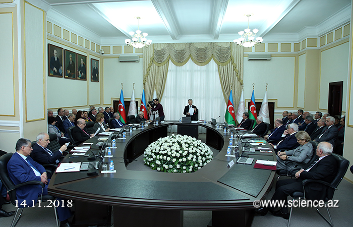

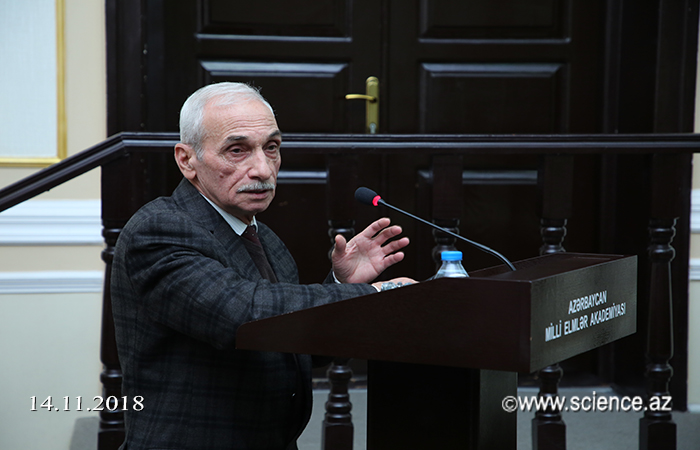
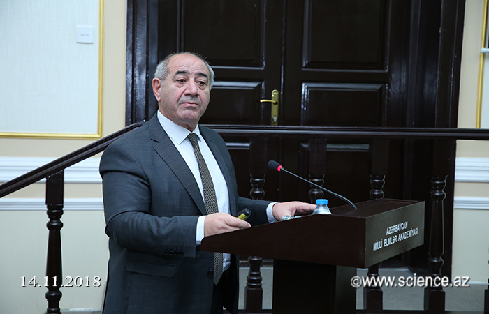

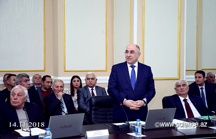
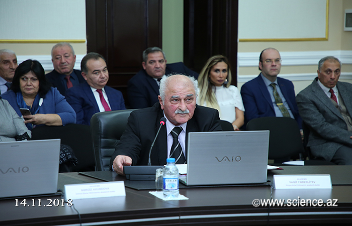
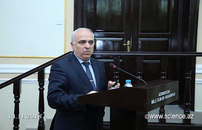
At the regular meeting of the Presidium of the National Academy of Sciences of Azerbaijan, which was held on November 14, the scientific report by Academician-Secretary of the Division of Earth Sciences of the ANAS, academician Fakhraddin Gadirov, General Director of the Republican Seismic Survey Center, corresponding member of the ANAS Gurban Yetirmishli and Ph.D in Mineralogy Avaz Salamov on "Current geodynamic state of the Absheron Peninsula: modeling and monitoring of hazardous geological processes".
It was noted that, in recent years, ANAS Institute of Geology and Geophysics and the Republican Seismic Survey Center are conducting basic scientific research aimed at monitoring modern geodynamic and seismic conditions on the Absheron Peninsula, compiling deep structural and geological models, studying modern methods and forecasting dangerous geological processes.
The report told about the results of fundamental scientific research, which was conducted in connection with the modeling and monitoring of the modern seismic-geodynamic state of the Absheron Peninsula and the geological structure of dangerous geological processes occurring at a shallow depth. It was emphasized that these results are of particular practical importance in the study of the spatial distribution and dynamic regime of many dangerous geological processes. It was noted that the use of the database obtained in the landslide zone on the territory of the Bailovo and Badamdar settlements, which is dangerous for Baku, when tracking changes in soil properties and movement dynamics on landslide slopes, creates a theoretical basis for measures aimed at preparing strategic landslide works.
Also, to study the dynamics and depth of the landslides that occurred on the territory of the Bail and Badamdar settlements in 2000-2018 were used the methods of electro-tomography, seismic exploration and cosmogeodesy. As a result of studies conducted on the selected profiles, it was found that a trace of pale-landslide processes can be traced in this zone.
After listening the reports, respondend the questions.
According to the decree of the Presidium, ANAS Institute of Geology and Geophysics, ANAS Republican Seismic Survey Center, the Ministry of Ecology and Natural Resources and the Ministry of Emergency Situations of joint activities aimed at developing a draft program of research for the preparation of a 3D geological and geophysical model of the geological complex, covering the depths of the landslide zone on the Bail and Badamdar territory. In addition, it was recommended to consider proposals for the holding of ANAS, the National Aviation Academy and “Azerspace”, based on world experience, joint monitoring of landslides on the surface of the earth and other hazardous processes.
©All rights are reserved. Citing to www.science.gov.az is necessary upon using news.
Similar News


Links