Azerbaijan National Academy of Sciences
The first website of Azerbaijan (1995)
 Elm TV
 Photo
Photo
 Video
Video
- A-
- A
- A+
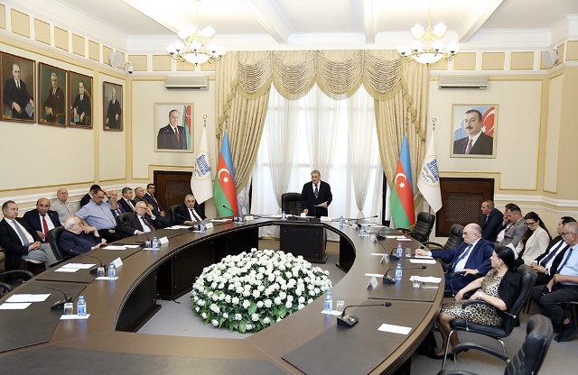
An international conference on "Eurasian CMS Conference - 2018" kicked off

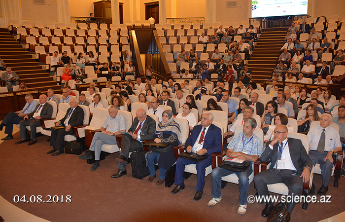
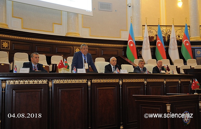
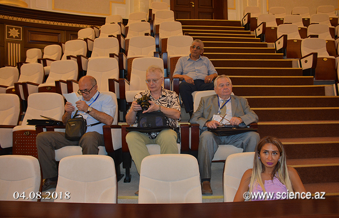
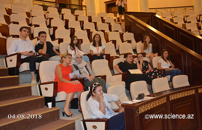
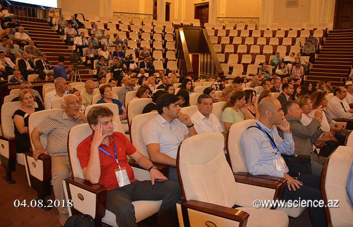
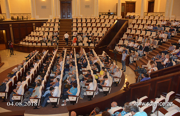
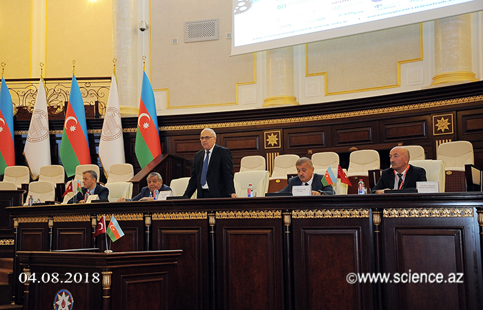
An international conference on "Eurasia CIS Conference - 2018" has started in the Circular Hall of the ANAS main building on September 4, jointly organized by the Geography Institute named after Hasan Aliyev and Selcuk University of turkey.
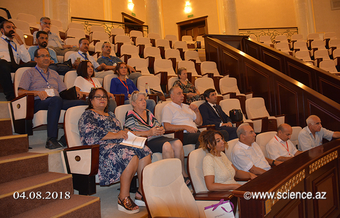
The event is attended by scientists from Turkey, Russia, the US, Kazakhstan, Moldova and other countries.
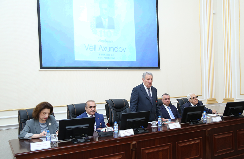
Academician Fakhraddin Gadirov, Academician-Secretary of the Department of Earth Sciences of ANAS, said that the main purpose of the international event is to reveal the current use of Geographical Information Systems (GIS) in various fields of science and economy.
The head of state noted that various documents were signed by the head of state on the establishment of electronic government, the structure of spatial information and their placement in government portals.
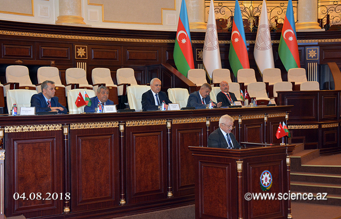
Noting that GIS technologies are widely used in many fields of activity in recent years, Gadirov said that scientific-theoretical bases of application of geographical information technologies in ANAS are researched, important work on solving problems in this field is carried out and a number of projects are implemented. He emphasized the importance of studying international experience in the application of GIS technologies, intensification of scientific research in this area and the training of highly qualified personnel.
Director of the Institute of Geography, academician Ramiz Mammadov, Professor of Selcuk University Farrukh Yildiz and others shared their views on dynamic development of application of GIS technologies in all spheres of activity, taking important measures to solve existing problems and wished success to the conference.
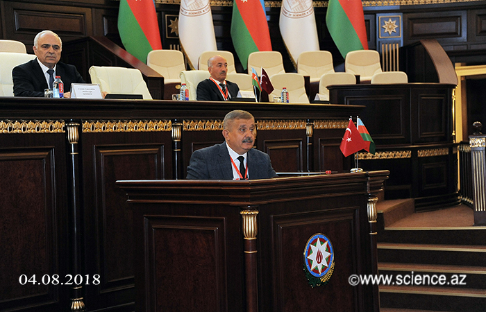
Then, the conference will focus on the following topics: Geographical Information Systems, Spatial Data Structures and Their Applications in GIS, Spatial Analysis in GIS, Environmental Monitoring, Natural Disaster Management and Natural Resources Management, Earth, Water and Climate Surveys "," Cadastre, Land Planning and Management "," GPS, Distance Sensing and GIS "," Earth Survey and Geodetic Measurement Methods ".
At the international event, which will last until September 7, about 150 reports will be heard on various topics.
©All rights are reserved. Citing to www.science.gov.az is necessary upon using news.
Similar News
Links