Azerbaijan National Academy of Sciences
The first website of Azerbaijan (1995)
 Elm TV
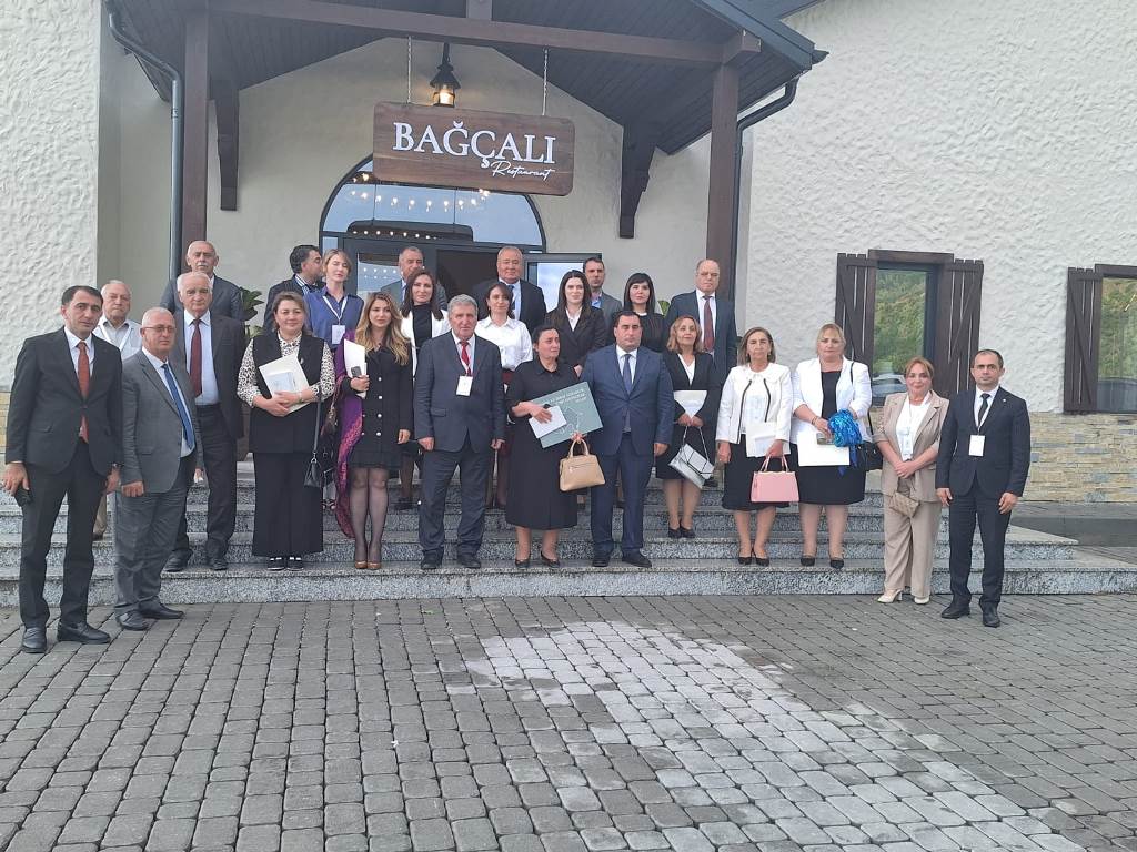
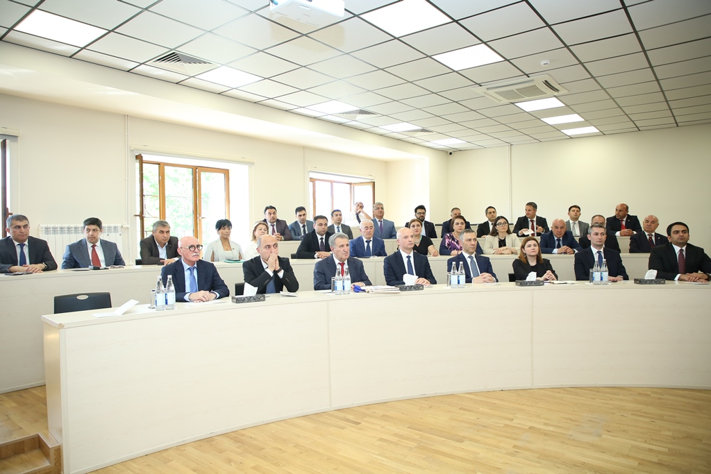
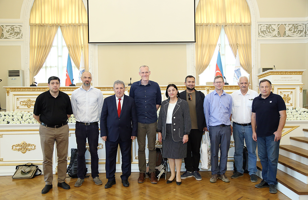
 Photo
Photo
 Video
Video
- A-
- A
- A+
Listened a lecture on velocity models of the Earth's crust in Azerbaijan based on seismologic data
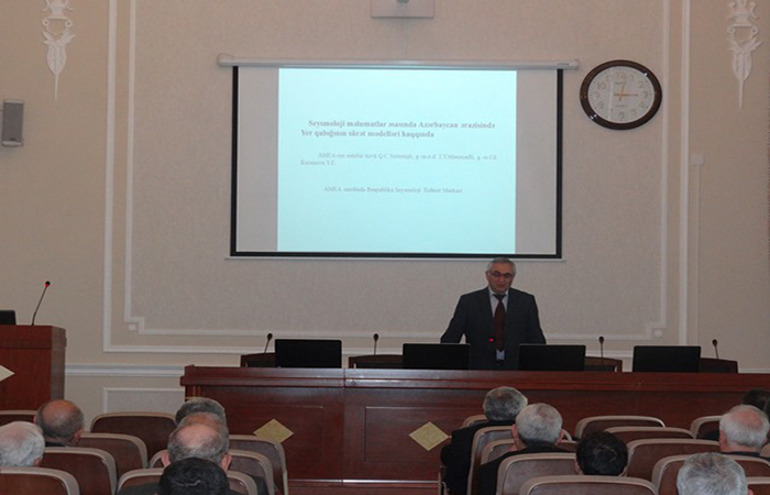
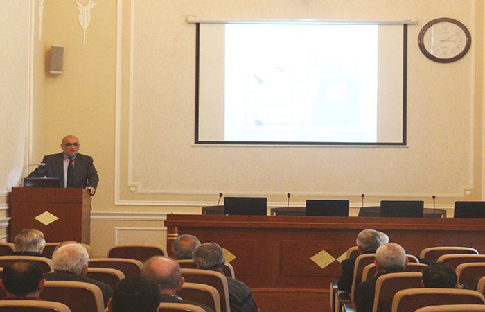
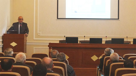
Lecture “On velocity models of the Earth's crust in Azerbaijan based on seismologic data” was listened in the next “Geomechanics” seminar of the Institute of Geology and Geophysics on March 31.
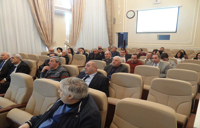
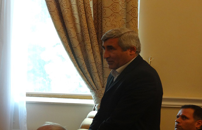
Seminar brought together all the attendees of research project and representatives of the various institutions.
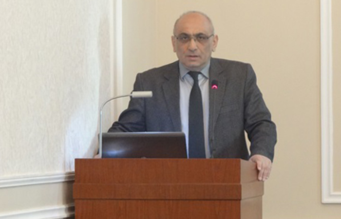
At the event, Academician Hatem Guliyev stated that, today’s seminar would discuss aforementioned lecture submitted by director of Republican Seismological Survey Center, corresponding member of ANAS Gurban Yetirmishli and Dr. Geology-mineralogy T.Mammadli.
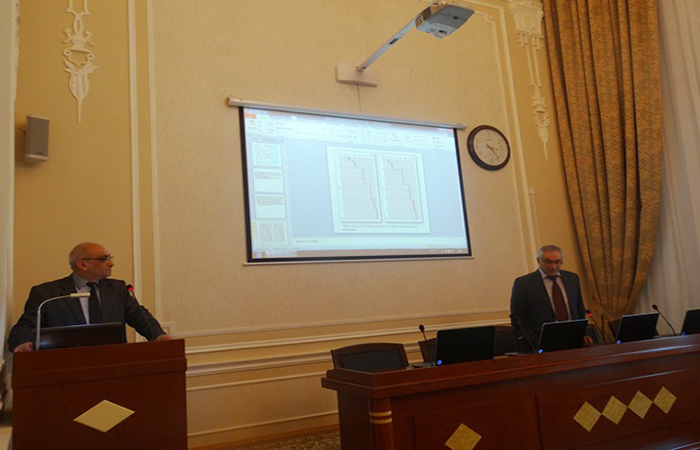
Then Dr. Geology-Mineralogy Tahir Mammadov presented the report. The report conducts that seismic velocity models are important tools in study of properties of the Earth's deep structure. These models, as well as plays a key role in defining the status of basic parameters of the earthquake, epicenter and the fire. The reliability of these parameters allows the study of seismicity of areas, relations of the epicenters of earthquakes with tectonic structures or deep crevices precisely.
It was noted that until recently, were used methods of land models sensing (DSZ), refracted waves correlation (SDKM) and others in set up of velocity models in Azerbaijan. Currently, there are 35 digital seismic stations in Azerbaijan and these stations record seismic waves emitted from the seismic epicenters in digital form. Access to such type of data increases relevance of the application of seismic method in exploration of regions with complex geological structure, including the territory of Azerbaijan.
It was noted that, based on data from the 35 digital seismic stations, were recorded numerous earthquakes occurring in Azerbaijan, was built high-speed model of the crust in the Lower Kura depression and Gusar-Shabran region.
Various depths (over 1 km, 3 km, 7 km) and horizontal cuts of high-speed models in the studied territories have shown that crust possesses very complex structure as in the lateral and vertical direction here.
The surfaces of granite and basalt layers and the three-dimensional scheme of distribution of deep isolines of border of Mokho created on the basis of digital data have created conditions for expansion of knowledge of the geodynamic processes happening here.
In the future, through the application of this method provides for a high-speed model throughout the country. At the same time, through close observation of the seismic network, established in local areas with additional mobile stations, it is planned as the creation of high-speed models with high accuracy specific areas of mutual interest.
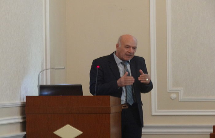
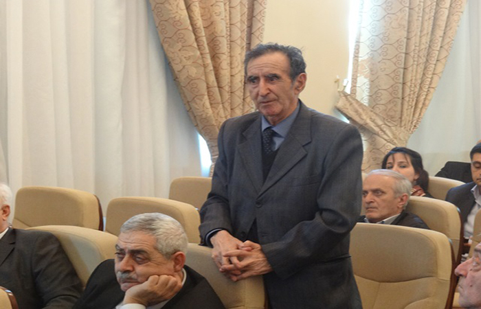
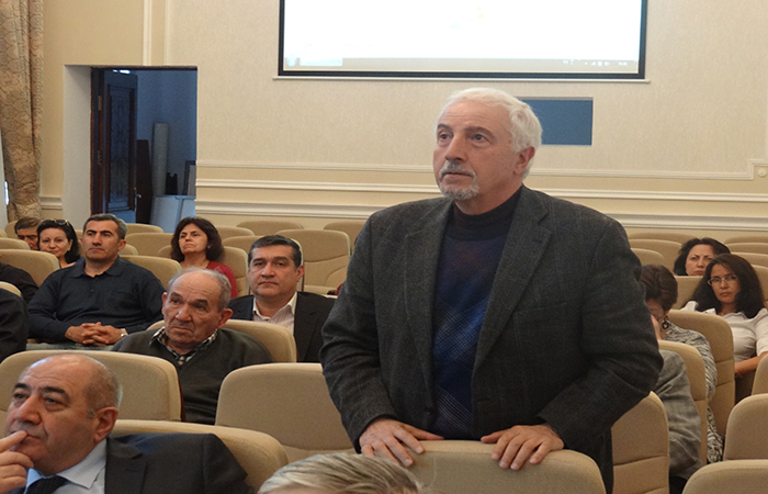
The report aroused interest of the participants.
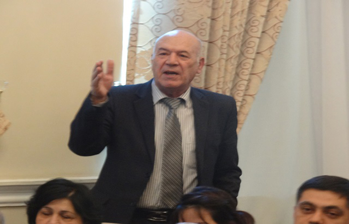
In conclusion, the results of the event were discussed.
©All rights are reserved. Citing to www.science.gov.az is necessary upon using news.
Similar News
Links